


The beauty, diversity, and difficulties of Manu National Park [video]
June 15, 2018
It’s now early in the less-wet season on the east slope of the Andes of South East Peru. I say ‘less wet’ and not ‘dry’ because even the ‘dry’ season there is not very arid. Our trail camera study area in Manu National Park is about 44 km (27 miles) long, and ranges from 520m elevation (1,700’) to 3,600m elevation (11,811’). Temperatures vary from 8-18°C (46-64°F) across the seasons and the elevations, and the relative humidity is almost always high, averaging from 89-95%.
In other words, even when it’s not actively raining the air is moist, which takes a toll on electronic equipment such as trail cameras. And digital cameras. And computers. And cellphones. You get the idea.
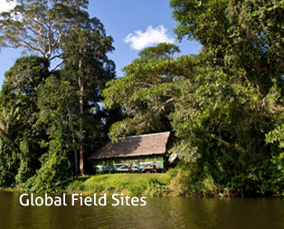
Manu National Park is massive. Covering 17,162 km2 (6,627 square miles) of terrain with very few roads, it’s larger than Connecticut and larger than Yellowstone National Park, Grand Canyon National Park, and Yosemite National Park combined!
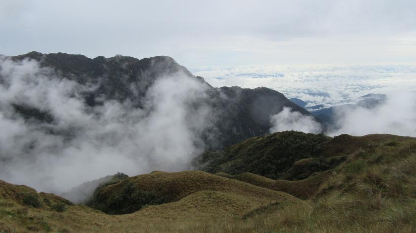
In the Andean bear conservation program, we’re working inside Manu National Park and the adjacent buffer zone, which ranges from montane grasslands down through cloud forests, and transitional montane forests to the border of the Amazon rainforest. So, you can start walking in a wide-open panorama of grassland with snow-capped peaks in the background, and descend through dense, moss-covered forests like those in the Pacific Northwest, watching the diversity of trees, bromeliads, and moss (of course) change during every few minutes of your hike. Over 200 species of mammals have been recorded in Manu National Park and in photos from our trail cameras. These are only a small part of the diversity of Manu, and in just a 6-month period with our cameras we detected around 50 mammal species.
To get a sense of the landscape without pulling on your boots, take a look at this video:
Of course, the focus of the work we’re doing is one particular mammal, the Andean bear. Individual bears are thought to use habitats at different elevations seasonally, moving around to find food, foraging often on tree-dwelling bromeliads in the forest, and ground-dwelling bromeliads in the montane grasslands.
Remnants of over 300 species of plants and a dozen animals have been found in the feces of Andean bears, so we think they may have many dietary options (although we don’t know how the distribution of food resources varies across time and space). What we think we know is that these bears are not as limited by the rugged topography as we humans, with all of our equipment, are.
One of our greatest challenges in studying Andean bears is getting from ‘here’ to ‘there’. One famous, or more like notorious, trail in the area drops 2,000m (6,500’) in just over 8km (5 miles). That’s as if you were to drop from higher than Denver Colorado to the Pacific Coast by walking just a few miles. Trust me, that trail is hard on your knees! People who live in the Andes don’t find this very challenging, so I imagine Andean bears don’t, either.
One objective of our work is to determine whether Andean bears move between elevations seasonally, as the first step in understanding how they use this spectacular landscape.
Be sure to follow San Diego Zoo Global on Facebook and Twitter to see the Andean bear trail camera images, and all of the other amazing conservation work being done by ICR scientists.