Mapping the Devils Playground: Boosting populations with GIS
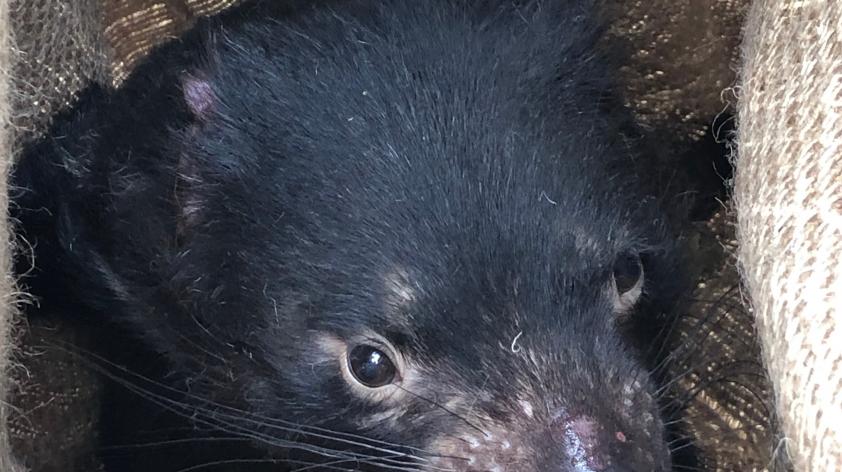
Tasmanian devils are suffering from Devil Facial Tumor Disease (DFTD) a transmissible cancer which has already killed around 80 percent of the population.
In an effort to boost the population and stop the spread of the disease, we are partnering with the Save the Tasmanian Devil Program, the University of Saskatchewan’s computer science graduate program and CEPHIL lab and others to build a computer model with a geographic information system (GIS) map at its centre.
GIS is a powerful tool to combine multiple streams of data into one comprehensive map. The GIS map will allow the model to not only include devil populations across the island of Tasmania, but also other factors that threaten their survival such as roadkill, a common problem for wildlife in Tasmania. The maps allow for regional differences such as human population density, roads or geographic features that can then be used to inform decisions within the model.
In the model, individual devils will make decisions based on their needs such as finding food. These decisions will then lead to interaction between devils, which can then lead to infection spread from one animal to the other.
For example, during mating season an infected male will seek out a female, during this process he might run into another male and they might fight during which he can spread the infection to the other. In some types of models, this interaction might be represented with a probability chance of happening, but with the GIS map we can take into account that these two devils might be too far apart for their interaction to ever happen.
Integrating GIS with computer modeling is a powerful approach to understanding multiple threats to population viability in the presence of disease. Ultimately, this model will allow us to better investigate different interventions that can be used to boost the devil population numbers while keeping the number of new infections low.
Paul Lamp is a graduate student, University of Saskatchewan.

